Storemyr - Flatabøgryting

Storemyr - Flatabøgryting

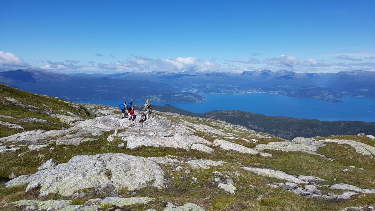
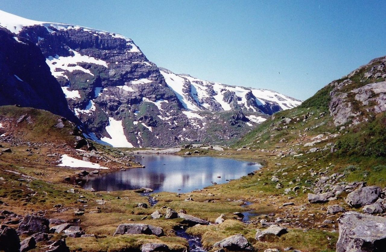
A hike in mountain terrain with scenic surroundings.

rose
Contact information
Address
Phone
Mail

About

Starting point

Take road 105 from Jondal towards Folgefonna. After 8.0 km turn right just before the bridge. Close to the road junction is an information board showing details of other hikes in the area. This is a toll road for those continuing by car.  After 2.0 km take a right turn. The short road ends at a ski arena, where there’s a good car park by the club house. Parking at own risk.

About the trail 

The hiking sign marking the route to Flatabøgryting is close to the club house. The first 0.5 km follows the lighted ski track. The route moves away from the ski arena at a new hiking marker and crosses a marshy woodland area. The path moves uphill, and then across the river, Gjetingselva (by hopping stones). The hike is now on a steep but good trail through the woods and up to the tree line. Above the treeline and over the shoulder you reach a good mountain terrain in the open valley at Kvålsbotn. Continue up the hill at the end of the valley and past the little lake, Skardtjørna. At the highest point of the trail you can view the lake, Grytingsvatnet and the mountain cabins of Flatabøgryting. The hike is marked following the west side of Grytingsvatnet until it arrives to a connecting point with other hikes. 

Parking: See "starting point" 
Parking fee: Free, but there is a road toll fee to drive to the parking. 
Length: 4,7km
Total walking time: 4 hours 
Season: June - October 
Difficulty: Blue, medium 

Distance
Duration
Grading
Season

Map