Langaskarv - Såta

Langaskarv - Såta

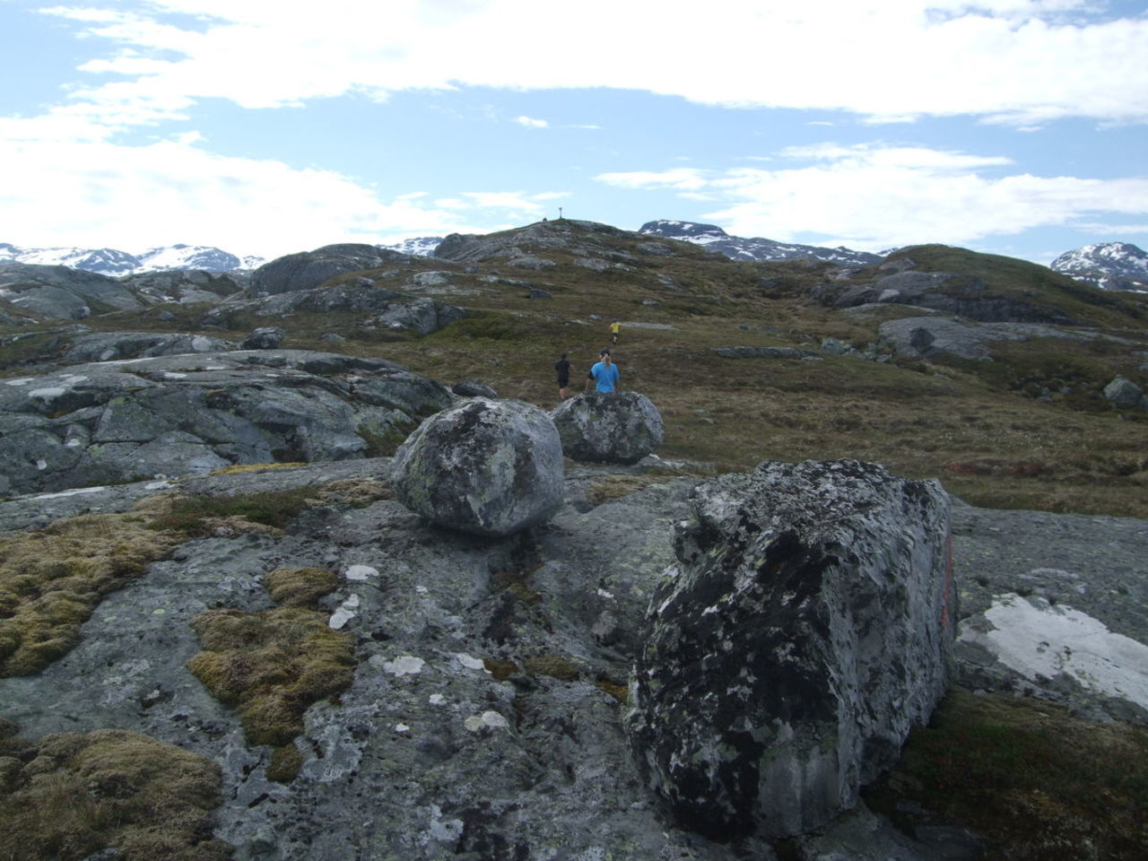
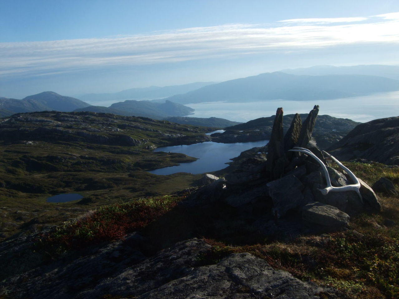
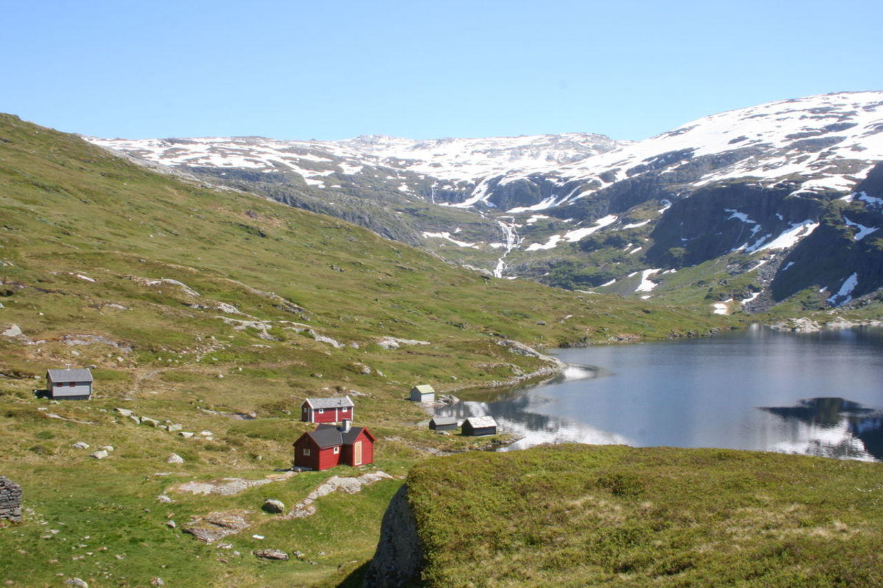
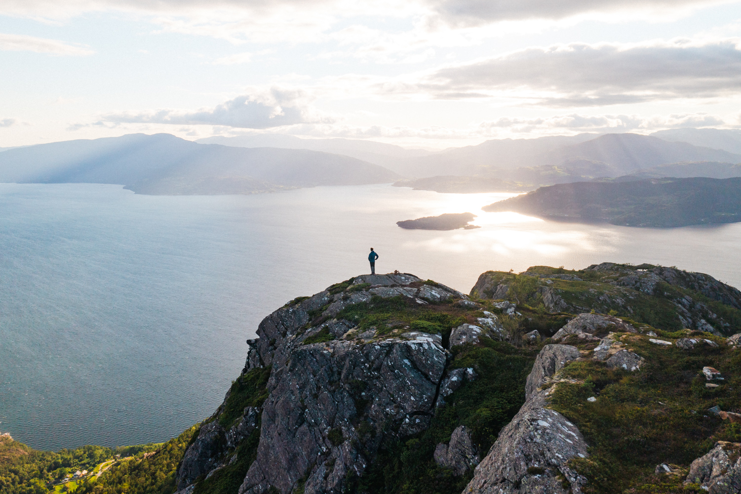
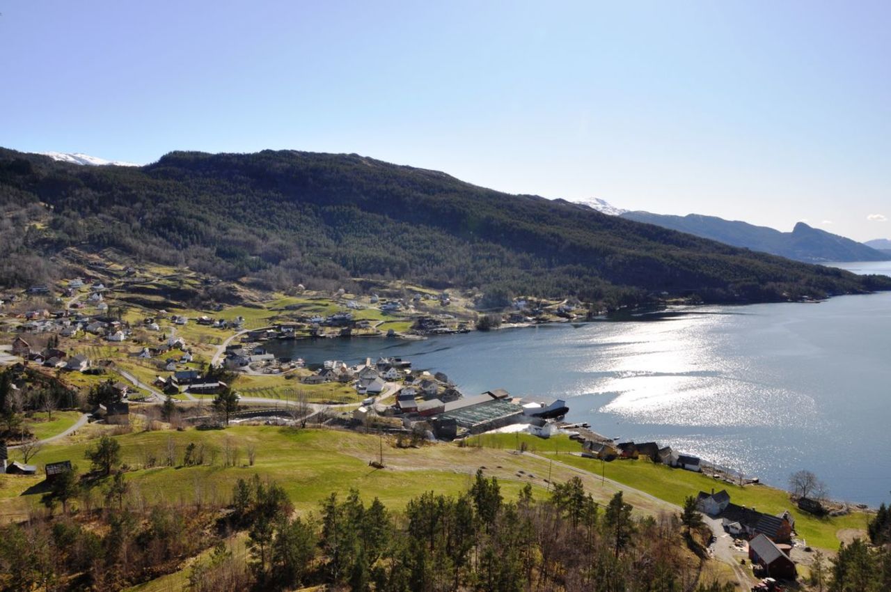
Roundtrip Langaskarv - Såta with great views over the Hardangerfjord, Herand and mount Samlen.

rose
Contact information
Address
Phone
Mail

About

Starting point

Take road 550 to the north from Herand quay. After 4.1 km, and slightly south of the highest point in the road (Åsleitet) you leave the main road (eastwards) and follow onto a forest road. You will find an information board there. If you continue by car this is a toll road. The pay point is 100 m in from the main road. After 2.1 km (about 300 m from the end of the road) you come to Langaskarv and a hike marker to Såta. There is only limited parking here. Parking at own risk. There is an information board by the car park at the end of the road.

About the trail

The hike is generally on a good and dry path, starting through the birch woods. After passing the treeline it continues on a ridge with superb views of the Hardangerfjord, Samlen and the village of Herand. After arriving at Såtesteinane the path turns towards Såta, with good views in all directions including views of the mountain cabins and their respective lakes. Continue down until you meet the path going toTostøl. Here you loop back to the car park at Våhaug and then follow the road down to Langaskarv. (This tour is described a round trip, starting at Langaskarv. The character of the hike is quite similar if you should choose the opposite direction. In which case you start at Våhaug, taking the Tostøl route until you meet the signs for Såta further up.)


Parking: Langaskarv. See information under "starting point"

Parking fee: free, but you have to pay a toll road fee to drive up to Langaskarv

Length: 3,8 km

Total walking time: 2 hours

Season: May - October/November 

Difficulty: Blue, medium

Distance
Duration
Grading
Season

Map