Location Omvikdalen Overview There is an easy incline from the parking lot to the end of the forest road where the terrain flattens at approx. 600m AMSL. From here, signs and T markings towards the north first ov...
Location
Omvikdalen
Overview
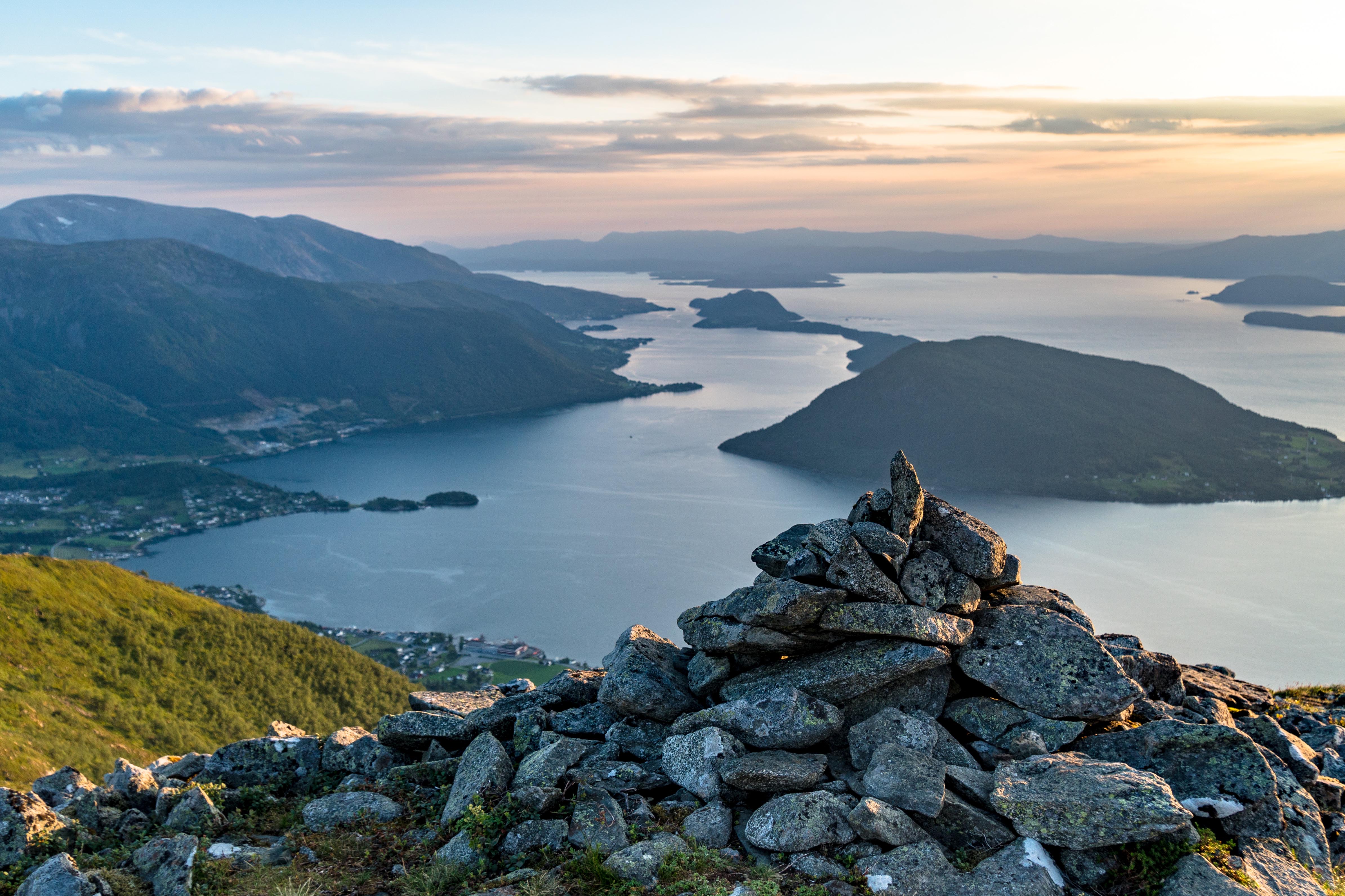
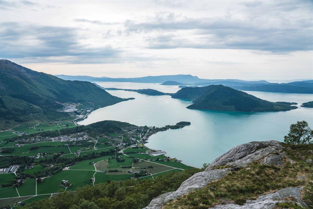
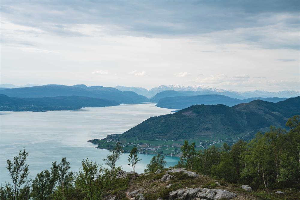
There is an easy incline from the parking lot to the end of the forest road where the terrain flattens at approx. 600m AMSL. From here, signs and T markings towards the north first over a small bridge and further over 660m AMSL going downwards towards the west to a small cairn. There is a beautiful view of towns and fjords.